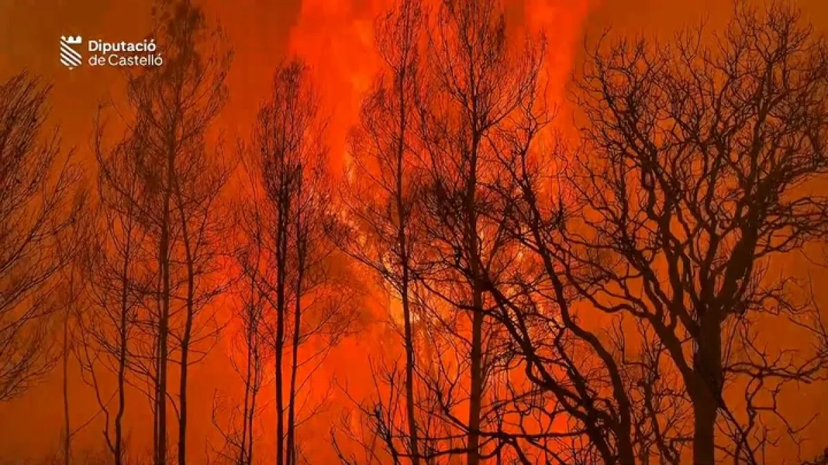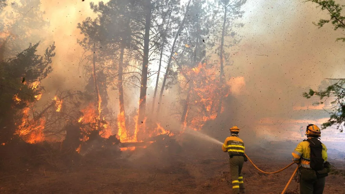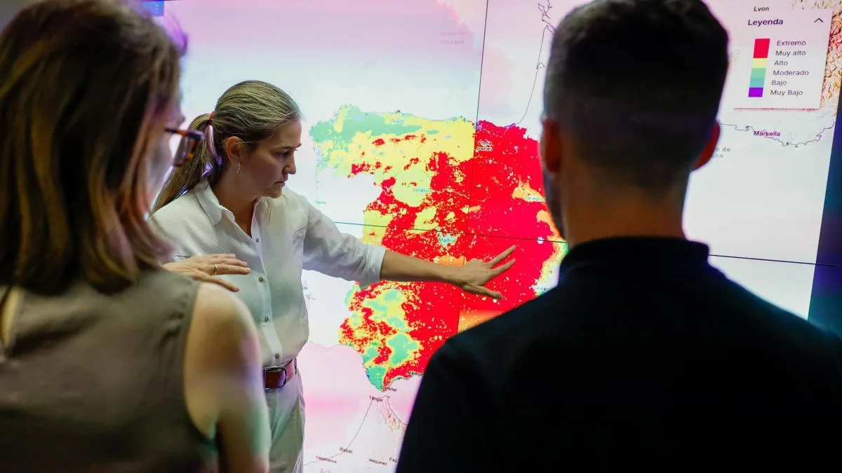









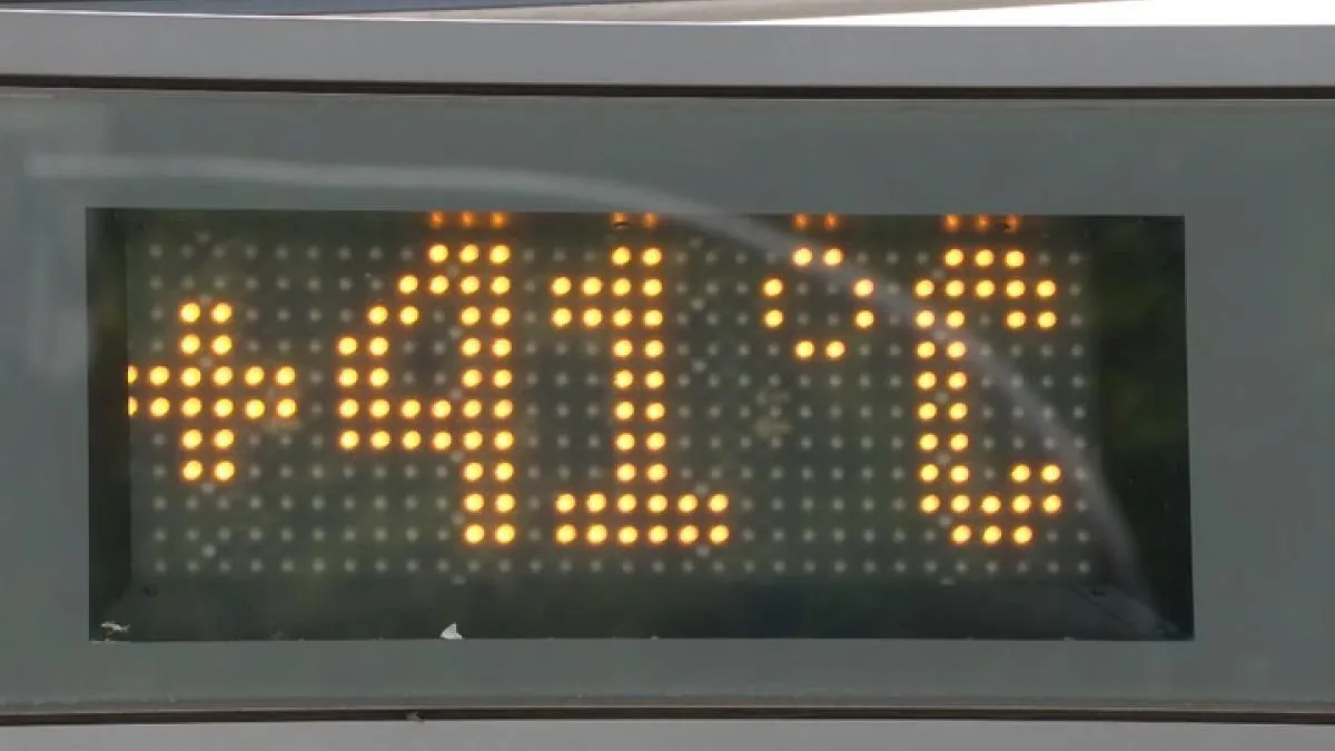
Spain will suffer its third heatwave this week so far this summer. Three episodes of very high temperatures in just six weeks. Faced with this unusual streak, some meteorologists are beginning to talk about a new concept: “heatwave trains,” a succession of extreme events with hardly any respite, reflecting a change in climate patterns in Europe and, especially, in Spain.
Read more Julio Martínez points to Zapatero as the mastermind behind the influence peddling business
The rise in thermometers will be widespread and abrupt, with peaks of over 42 degrees in some areas. The thermal climax is expected to be reached between Wednesday and Thursday, with suffocating heat widespread throughout the peninsula. In other words, the country will once again suffer sweltering and oppressive days like those at the end of June and the beginning of this month.
Expressions like heat tsunami very graphically illustrate this new climatic and meteorological reality
José Miguel Viñas
Meteorologist
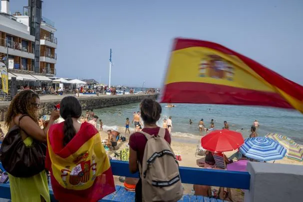
Meteorologist José Miguel Viñas maintains that the meteorological records of the State Meteorological Agency (Aemet) “reliably confirm” that heatwaves are now more intense and occur with greater frequency. Therefore, he says, “it is time to start talking about heatwave trains in Spain, similar to storm trains, which is an expression we use when several of them occur in succession, as happened last winter.”
In his opinion, the limits or boundaries between two consecutive heatwaves are increasingly blurred, as we see frequent “overlaps” between them. This new behavior will surely force a rethinking of the methodology for cataloging heatwaves.
Read also
With the episode starting this week, Aemet will have recorded 81 heatwaves since 1975. Of these, 25 occurred between 1975 and 2000, and 56 – more than double – between 2001 and 2026. 25% of that total (14) took place in the last four summers.
“The limits or boundaries between two consecutive heatwaves are increasingly blurred, as we see frequent overlaps between them. This new behavior will surely force a rethinking of the methodology for cataloging heatwaves. These days I have also heard expressions like “heat storm,” not forgetting the “heat tsunami,” which very graphically illustrates a new climatic and meteorological reality,” explains Viñas.
This new behavior observed in heatwaves (persistence and magnitude), adds this meteorologist, is sparking growing interest in the scientific community to try to understand its causes. What is evident, he emphasizes, is that Europe is the “epicenter of extreme heat.” Last June was the hottest on the old continent since records began, and July is also heading for a new record.
Read more Zelensky dismisses army chief to curb citizen protests in Ukraine
A key: the melting of Greenland
Juan Jesús González Alemán is a doctor in Physics and a researcher at AEMET. Days ago, using data from ERA5, the global reference climate database managed by the European Copernicus service, he published a graph with all the heatwaves of the last 24 summers. The image is categorical: these episodes arrive earlier and are increasingly frequent and intense.
“The extraordinary and persistent warming that has affected Western Europe in recent weeks is a clear reminder of how quickly our spring and summer climate is changing,” warned this expert on his social media after the late June heatwave concluded.
The very persistent activity of extreme atmospheric ridges over Europe may be related, according to this expert, to the accelerated melting of the Greenland ice sheet and freshwater anomalies in the North Atlantic, the “cold blob” that puzzles many scientists.
In an article published in Noticias de Navarra, Peio Oria Iriarte, Aemet Territorial Delegate in this autonomous community, member of Fundación Clima and specialist in Meteorology and Natural Risks, revealed that “the rapid melting of Greenland is pouring large quantities of fresh water into the North Atlantic, modifying the ocean surface temperature in some areas.” These changes could be influencing “the position and behavior of the jet stream, that large conveyor belt of air that guides storms and atmospheric waves”..
Although it sounds contradictory, a colder North Atlantic results in warmer air over much of Europe, especially in the south, clarifies Rahmstorf, Head of Earth System Analysis at the Potsdam Institute for Climate Impact Research and Professor of Ocean Physics at the University of Potsdam (Germany), who has been studying this “blue blob” and the weakening of the Atlantic Meridional Overturning Circulation (AMOC) for decades.
The new pattern of this ocean current “is a determining factor that explains heatwaves in Europe, which are more recurrent and intense than in other regions of the world at similar latitudes,” this scientist maintains. His conclusion: “Europe is a hotspot for heatwaves, which could well be related to the slowdown of the AMOC and the cold zone developing in Western Europe after the Atlantic. Therefore, the slowdown of the AMOC is already having impacts in countries like Spain.”
Read more Zapatero’s stain