








The full summer heat of recent days fades this Wednesday – just one week before the arrival of astronomical autumn – with a sudden change in weather due to a trough of cold air aloft, which will drop temperatures by up to 13 degrees in the northern half of the peninsula and bring rain to the Cantabrian region and the Pyrenees, and intense storms to the east of the Peninsula and the Balearic Islands.
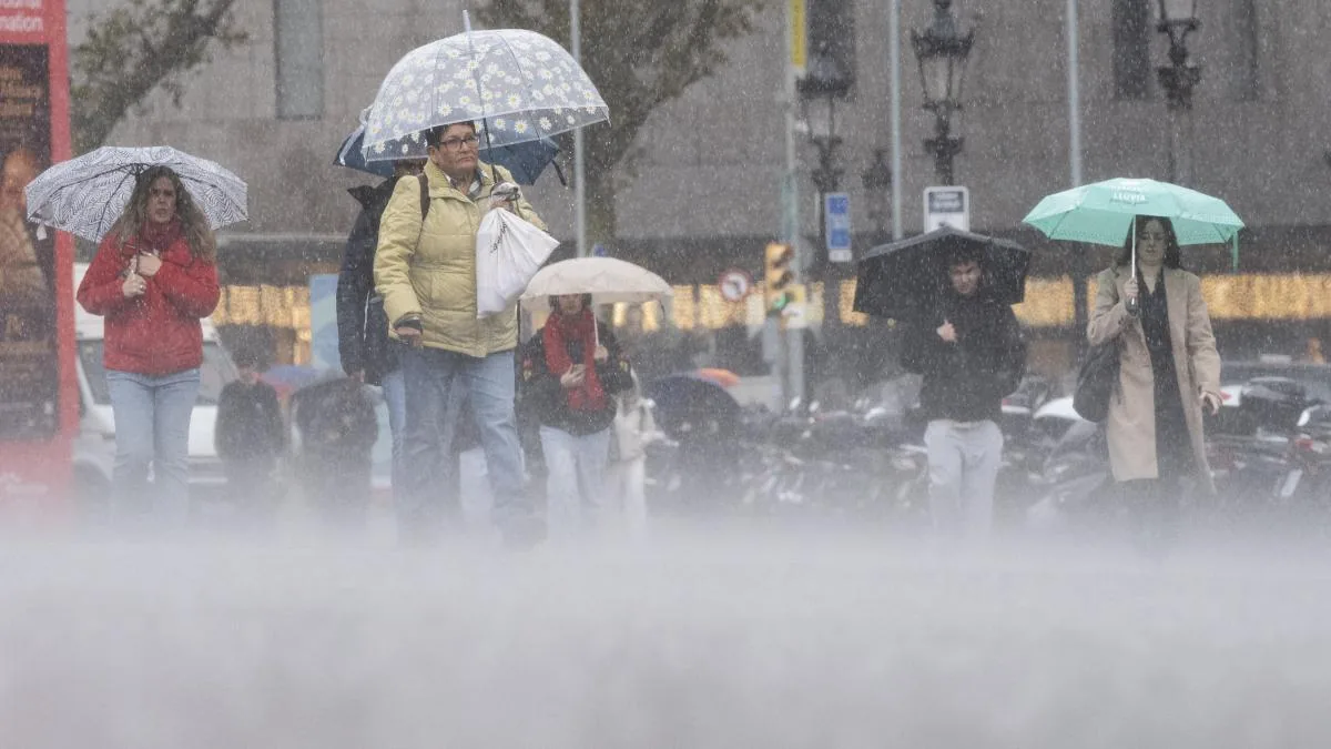
The forecast from the State Meteorological Agency (Aemet) indicates that temperatures will drop across most of the country. Eight autonomous communities are under warning this Wednesday, mostly for heavy rain and storms. Intense precipitation is expected in areas of Andalusia, Aragon, Balearic Islands, Castilla-La Mancha, Catalonia, Valencian Community, and Murcia.
The orange warning – significant danger – for rain of 30 to 40 liters per square meter in one hour affects Barcelona and Valencia (entirely), Girona (Pyrenees), Teruel (Gúdar and Maestrazgo), and the island of Mallorca (south). Additionally, there is a yellow warning for rain and storms in the rest of Girona, Teruel, and Mallorca, as well as in parts of Albacete, Almería, Castellón, Cuenca, Granada, Murcia, and Tarragona, and for gusts of 70 km/h along the Ebro riverbank in Zaragoza.
Warning for rainfall intensity in 3 hours in Catalonia
According to Meteocat’s forecast, until midday the sky will be clear or slightly cloudy in general due to the arrival of some high and medium clouds mainly in the west of Catalonia. However, in the morning, storm clouds will already develop in parts of the central coastal and pre-coastal sector and will persist throughout the day.
From midday onwards, showers with thunderstorms are expected in many areas of the eastern half, Central Catalonia, Pyrenees and Pre-Pyrenees, and central coastal and pre-coastal areas. At night, they may also fall in the north of the Costa Daurada.
Unstable day
Temperature drop of up to 13 degrees
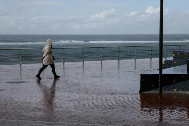
The arrival of cold air aloft and a surface front will bring an unstable day to the Cantabrian region and the eastern third of the peninsula. In the morning, cloudy or overcast skies and light rain are expected in the Cantabrian area. Temperature drops will be notable in the northern half and even extraordinary in the upper Ebro, northern Iberian System, and Castilla y León. Among provincial capitals, it will be very noticeable in Logroño (13 degrees less than Tuesday, dropping from 36 to 23), León (11 less, from 33 to 22), and Valladolid (11 less, from 35 to 24).
Read more Europe needs a leader from yesterday
The temperature drop will also be felt in capitals such as Ávila, Guadalajara, Vitoria, and Zamora (10 degrees less); Huesca, Palencia, and Pamplona (9); Madrid, Segovia, Teruel, and Zaragoza (8); Lleida (7), and Bilbao and Cáceres (6). This Wednesday it will be warmer in Córdoba and Granada (36 degrees), and Badajoz, Jaén, and Seville (35), and cooler in Burgos and Soria (19), and Vitoria (20).
In the afternoon, with the development of convective clouds, strong or very strong showers and storms with significant accumulations are expected in Catalonia, the Valencian Community, Teruel, the eastern part of Castilla-La Mancha and the Betic systems, and Mallorca. These precipitations are likely to be accompanied by hail, occasionally large in Valencia and Teruel, and very strong wind gusts.
In the rest of the peninsula, except for some low clouds in the Northern Plateau and the Alboran coast with a tendency to disappear, skies will be mostly clear or slightly cloudy. The Canary Islands will have intervals of clouds on the northern side of the islands and clear skies in the south.
Finally, the wind will be moderate from the north in the northern half of the peninsula. Very strong gusts of the Cierzo wind are expected in the Ebro valley and Tramontana in exposed areas of l’Empordà. In the Canary Islands, the trade wind will be moderate, with very strong gusts not ruled out in exposed areas.