







Meteorologists warn of episodes of extreme rainfall throughout the Mediterranean starting from the end of next week, which will extend into October. The models used by meteorologists and experts anticipate a succession of disturbances that will specifically affect the areas of Catalonia, the Balearic Islands, and Valencia, but will also extend to southern France, Italy, and Greece.
While October is usually characterized by rainfall, predictions now point to an increase in precipitation, with possible episodes of DANA and storms in the eastern third of the peninsula. According to meteorologist Alfred Rodríguez Picó, during October there will only be brief breaks between episodes of storms. These will dominate the month’s weather.
Rodríguez Picó warns that Atlantic storms are expected to move southward and affect the Iberian Peninsula. This climatic variation may be accompanied by a clear drop in temperatures if the storms reach lower latitudes, down to southern Spain, causing the influx of cold air flows from inland Europe.
The rise in Mediterranean water temperatures, cause of extreme rainfall episodes
For this meteorologist, the causes of extreme rainfall episodes are clear. “This summer we recorded Mediterranean water temperatures close to 30 degrees in Catalonia and up to 33 degrees in the Balearic Islands,” explains Rodríguez Picó. “This is an additional energy source for storm formation,” he adds.
According to this meteorologist, the warm and humid air circulating on the surface, when combined with cold air coming from higher latitudes, “makes clouds grow and causes extreme rainfall phenomena that can lead to floods and intense storms.”
Whatever their type, all meteorological phenomena will be more extreme
Rodríguez Picó warns that these phenomena are not new. “We already experienced similar episodes during the Vallès floods in September ’62 and the great floods of ’71,” he states. However, he warns that extreme phenomena, whatever their type, will become more frequent and widespread. Rodríguez Picó refers, for example, to heat waves, storms, wind gusts, drought episodes, and similar phenomena.
“We are already seeing an increase in the recording of tornadoes and waterspouts in the Mediterranean, DANA episodes like those in Valencia, or record droughts in Catalonia in recent years.” According to this meteorologist, a similar scenario is expected in other Mediterranean areas, such as Italy or southern France. This forecast is also confirmed by the Spanish Meteorological Agency (Aemet).
Read more We will be replaced
The “Super Niño,” one of the main natural factors driving climate variability, is not behind the extreme rainfall episodes
Meanwhile, the magnitude of El Niño, one of the main factors naturally driving global climate variability, continues to rise. In July, prediction models from the European Centre for Medium-Range Weather Forecasts (ECMWF) already recorded a progressive increase of between 3 and 4 degrees in the equatorial Pacific waters. The previous El Niño episode, categorized as “strong” in 2015, showed variations of up to 2.5 degrees relative to tropical temperatures and was nicknamed “Godzilla.” The scientific community now refers to the current one as the “Super Niño.”
The National Oceanic and Atmospheric Administration (NOAA) established a 90% chance that the phenomenon will intensify during the fall and winter of 2026-27 in the northern hemisphere, and the State Meteorological Agency (Aemet) also describes it as a “historic” and unprecedented Niño.
However, Aemet itself points out that no cause-and-effect relationship can be established between El Niño and the succession of extreme rains in the coming weeks. Since it originates in the surface waters of the central and eastern equatorial Pacific Ocean, far from the peninsula, at most there could be “small hyperconnections without much weight,” explains José Luis Camacho, spokesperson for the meteorological agency.
El Niño, in any case, could cause anomalies in the behavior of the polar jet stream, a very intense current that flows from east to west and, if it shifts southward, can promote the formation of storms on the peninsula, explains Andrea Danta, meteorologist at Meteored.
Here in Spain, climate variability depends on other more direct factors, such as the North Atlantic Oscillation (NAO). This phenomenon is the pattern used to measure the pressure difference between the Azores high and the low-pressure area of Iceland. When it is negative, it weakens or shifts southward and allows more storms to arrive, as experts confirm.
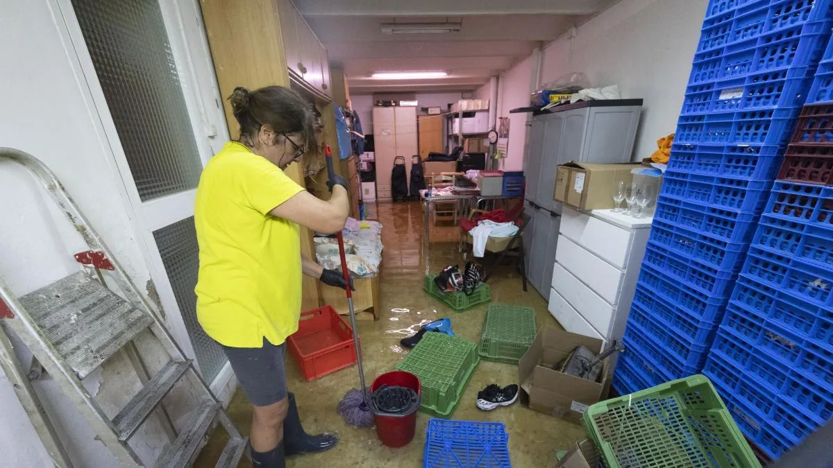
The heavy rains that have fallen since this Wednesday have caused incidents especially in Barcelona, where one person died in a stream, Murcia, and the Valencian Community.
Read more From 51 to become 28