






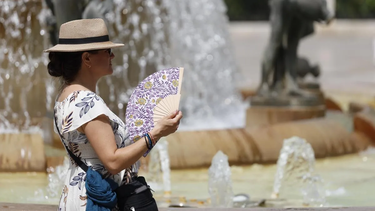
On Tuesday, a new heat wave will arrive that will last at least until Thursday, when it will reach its “peak,” bringing temperatures of up to 45 degrees and affecting the southeastern third, Guadalquivir valley, Ebro valley, northeastern depressions, Pyrenees valleys, and the interior of Mallorca. A mass of warm, dry air with suspended dust will also be situated over much of the Peninsula and the Balearic Islands.
Read more At least eight dead in Russia due to drone attack on e-commerce warehouses
According to the special warning issued this Saturday by the State Meteorological Agency (Aemet), the blocking pattern, which is currently causing “very high” temperatures in the eastern half of the peninsula, will “strengthen again over the weekend” with the establishment of a DANA to the west of the Iberian Peninsula.
“Very high” values
“This circumstance, combined with the presence of an anticyclonic circulation at mid and high levels over North Africa, will allow the movement of a mass of warm, dry air with suspended dust to settle over much of the Peninsula and the Balearic Islands,” it added.
In this context, a progressive rise in temperatures is expected to begin this Saturday, reaching “very high” values during the first half of next week, “especially in points of the southern and southeastern third of the peninsula.”
Thus, a significant danger level is expected during the central hours, especially for outdoor activities and vulnerable people, with nights also expected to be very warm.
Fires
The fire danger level will rise again to extreme values, accompanied by possible dry afternoon storms in mountainous areas.
Very high maximum temperatures are already expected this Saturday in the interior of Andalusia, especially in valleys and river depressions, where temperatures may exceed 40ºC.

On Sunday, the most significant thermal rises will occur in the northern third and the eastern half of the peninsula, with few changes elsewhere, with temperatures also reaching 40 degrees in points of the southeast, as well as with less probability in the interior of Mallorca.
From Monday, the upward trend in temperatures is expected to continue on the Peninsula, especially in the Ebro valley and northeastern depressions, as well as in the coasts and pre-coastal areas of the southeast, with few changes elsewhere.
Read more Last Spain training session before the World Cup final suspended due to bad weather
Already very high records for Monday
Thus, maximum temperatures are expected to reach 38-40ºC in the Ebro valley and northeastern depressions and eastern Castilla-La Mancha, 39-41ºC in the upper and middle course of the Guadalquivir valley, Genil basin, and interior of Mallorca, and 40-42ºC in points of the interior of the southeastern third.
“Although this day is not included within the heat wave period, it cannot be ruled out that it may end up being included if new information supports it,” Aemet specified.
Tuesday, first day of the heat wave
On Tuesday the 21st, temperature rises will generalize to practically the entire peninsula, with slight decreases in points of the Iberian range, Levante coasts, and northeastern Mallorca.
Thus, it is expected to be the first day of the heat wave, with maximum temperatures reaching 39-41ºC in the Ebro valley and northeastern depressions, eastern Castilla-La Mancha, upper and middle course of the Guadalquivir valley, and interior of Mallorca, 40-42ºC in the Genil basin, and 41-43ºC in points of the interior of the southeastern third, with local exceedances of 44ºC possible.
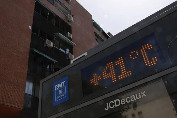
On Wednesday the 22nd, thermal rises will repeat, but this time focused on the southwestern quadrant, where they could be locally moderate. Thus, 39-41ºC could be repeated in the Ebro valley and northeastern depressions, eastern Castilla-La Mancha, and interior of Mallorca, 40-42ºC in the Guadalquivir valley and adjacent mountain ranges, as well as in the Genil basin, with the southeastern third remaining the most affected area, where 41-43ºC are expected in interior points, with local exceedances of 44ºC possible.
On Thursday the 23rd, the blocking situation will persist, with new rises this time focused on the Alboran coasts and southeastern third, adding to those recorded on previous days, and significant decreases only in the interior of Mallorca.
Records declining for the weekend
This day is expected to be the “peak” of the heat wave, with values around 37-39ºC in the interior of Mallorca, 39-41ºC in eastern Castilla-La Mancha, 40-42ºC in the Ebro valley and northeastern depressions, 41-43ºC in the Guadalquivir valley and adjacent mountain ranges, as well as in the Genil basin, and 42-44ºC in the southeastern third, locally exceeding 45ºC.
From Friday the 24th, and heading into the weekend, generalized thermal decreases are expected, although uncertainty is very high, so it cannot be ruled out that the heat wave could extend beyond Thursday the 23rd.
Read more The comedian Ignatius, hospitalized after falling off the stage during a show in Vitoria